The forecast for Togari Onsen is very simple: summer wins. Alpine plants, humid afternoons and summer clouds are the main weather features. Fresh snowfall is effectively zero for practical purposes. The snowflakes are on annual leave.
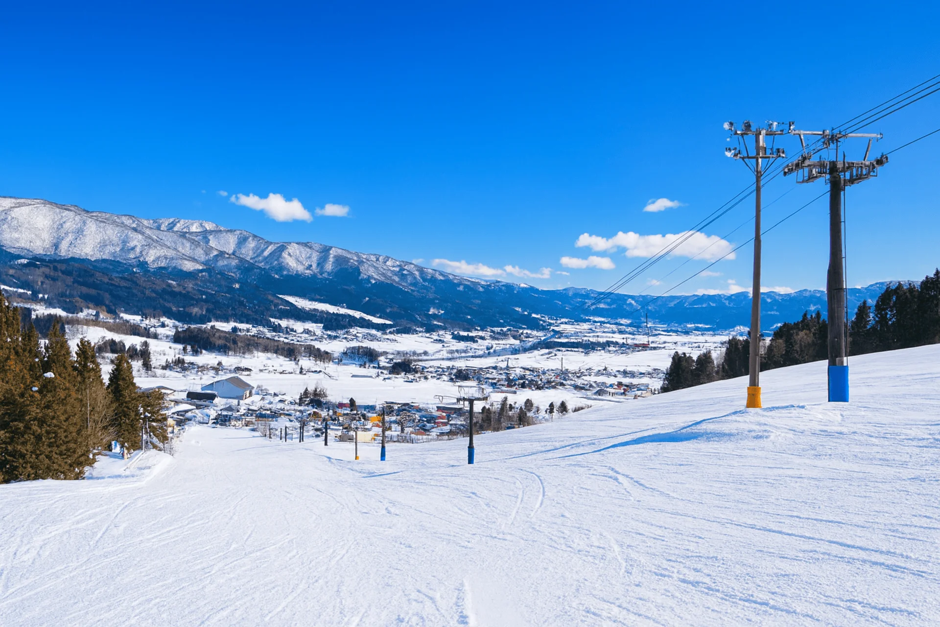
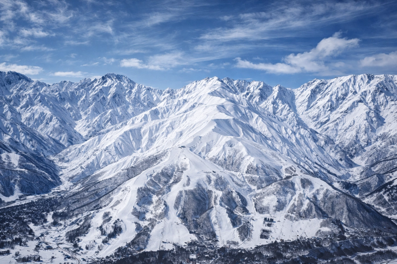
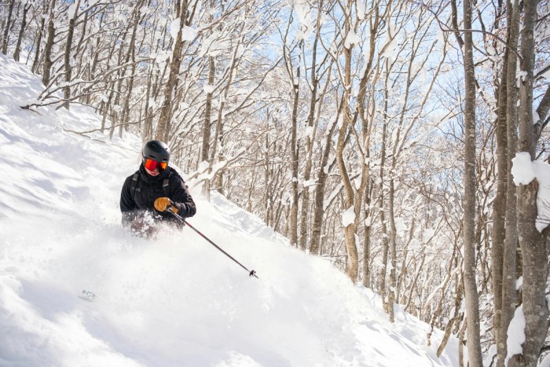
Read the freezing level before the snowfall total. Here, a cold inland trough is the pattern to watch, so the useful question is how cold and calm the next window stays. With a 350 to 970 metre elevation band and 620 metres of vertical, the trees and upper storm laps hold soft snow well after the open faces are worked. A seasonal baseline around 10 metres means moderate-looking totals can still refresh the main lines quickly. The swing variable is whether the snow line stays below the 350 metre base through the storm. If you are looking beyond the ropes, only chase that angle when the forecast also shows settled wind and stable visibility. Chase it when 10 to 20 cm lands cold to the base; skip it when the forecast shows a warm lower mountain.
See which resorts in Nagano are getting the best 24 hour totals and the next two days of snow.