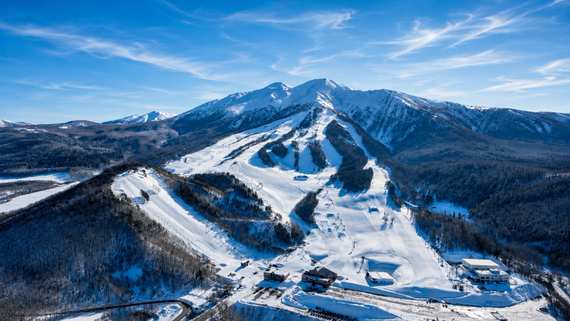
Compare the 24-hour total with the wind line first. Here, west to northwest flow off the Sea of Japan is the pattern to watch, so the useful question is how cold and calm the next window stays. With a 578 to 1186 metre elevation band and 608 metres of vertical, the bigger vertical gives you room to move higher when the lower runs soften. A seasonal baseline around 8 metres means small clean refills matter more than waiting for a giant number. The swing variable is midday warming, which decides how long the first good surface lasts. If you are looking beyond the ropes, only chase that angle when the forecast also shows settled wind and stable visibility. Chase a settled cold morning after the storm; skip a windy day where the surface never gets a chance to reset.
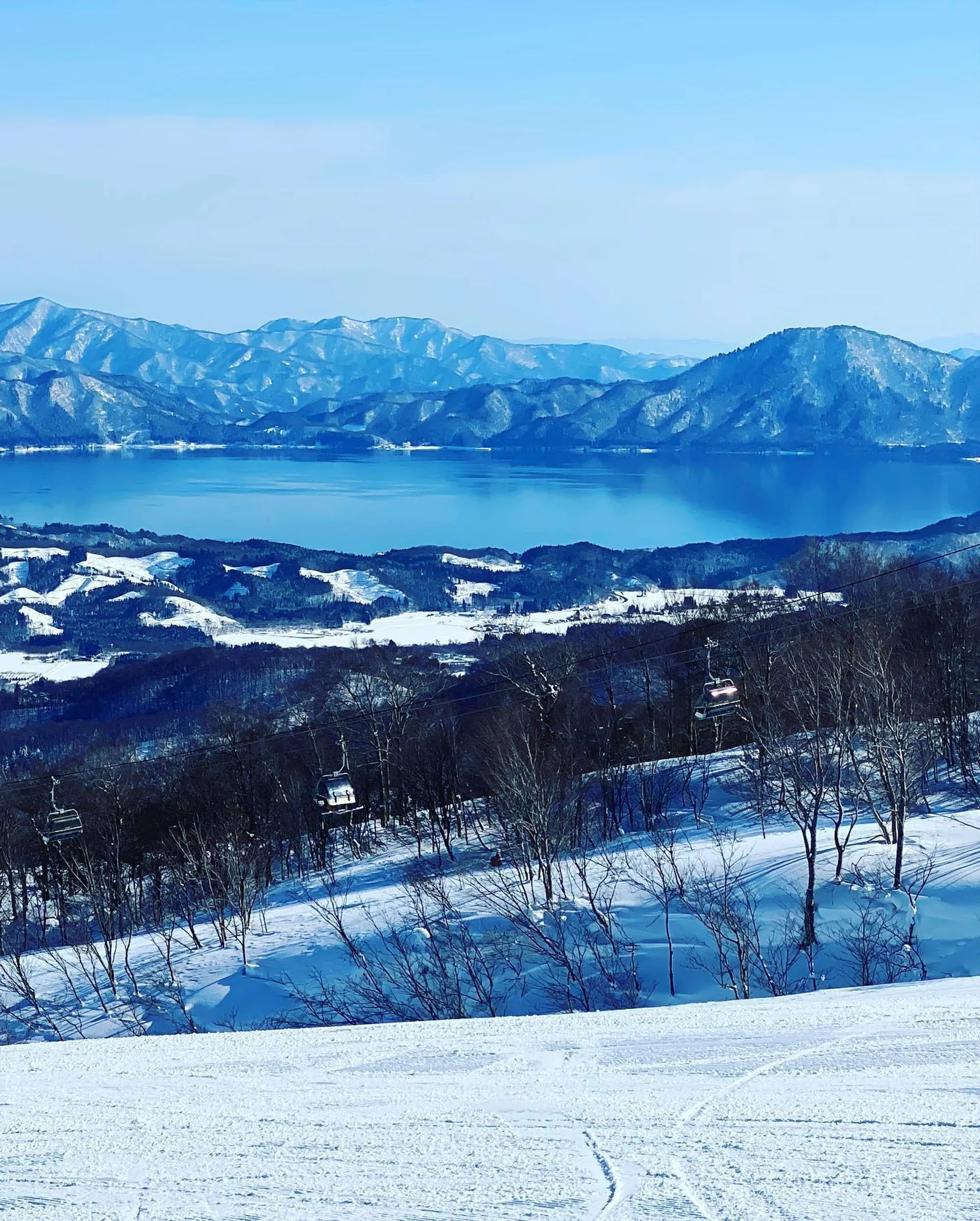
See which resorts in Akita are getting the best 24 hour totals and the next two days of snow.